
Farid Ahmad Abbasi is no stranger to landslides. He has rebuilt his century-old house for the fifth time, different parts of which were damaged in the wake of subsequent landslides since 1996. “The landslides have left fissures in the remaining building and there’s a landslide whenever it rains,” said the 43-year-old taxi driver.
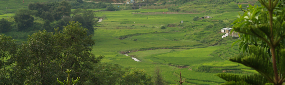
Incidents of landslides rose due to the construction of Murree Expressway over the last decade, he added. To pave way for the 120-feet-wide road belt, many trees had to be chopped down. Later the edges of the road were built, however no trees have been planted in most parks of the community forest that encompasses 98,000-acres.
According to a change analysis study, vegetation patterns during the last five decades, reveal that the local forest has suffered 13 per cent deforestation. This in turn has caused active landslides to increase unprecedentedly; from 10 in 1996 to about 132 in 2013.
District Officer (Forests) Javed Gill said, “Landslides have surged not only due to the ongoing construction on the highway but also because no serious efforts have been made to plant more trees which prevent soil erosion and mudslides.”
Over 100 houses in 22 villages in the community forest, suffer persistently as a result of landslides, which become frequent during monsoon. Murree receives 2,000 mm rain annually of which 1,700 mm pour between late July and mid-September. Other downpour and snow months making up for 400 mm are between December and February.
Zahid Ahmad, a plumber, said he has had to rebuild his own and his brother’s houses almost annually since the last 15 years. “We wrote requests to the National Highway Authority (NHA) and local MPAs to ask for financial help several times but nothing happened,” he said.
Before 2005, he had also inherited about 15-kanal agricultural land comprising apple and apricot trees, however he ended up losing all of the agricultural land to landslides. “It washes down the hill. Nothing stays,” he added.
He said the problem stems from water channels. Once the rain pours in, the water channels are flooded and move downstream. This disturbs the fissures in the hill, particularly those where the trees have been chopped down, causing the mud to slide downhill and onto houses.
Locals chop tree branches for fire, but fewer cut down trees, he said, adding that no officials of any government department have been witnessed planting trees along the highway or other places within the forest.
Gill believes the capacity building of local communities regarding need for forests can turn around things. “The state-owned forest is being rehabilitated now with help of WWF-Pakistan and their degradation is now six per cent, half of the community-based forest. Therefore there is greater need to save community forests,” he said.
Some plantations done by the locals have mostly been of broad-leave trees. These trees can only be utilised for firewood and provide lesser shade as compared to the indigenous conifer species.
Murree forests make up for the biggest conifer forests of Punjab. They are also the most vulnerable in the country due to the rapidly spreading twin cities. However, the government gives no funds for the community forests.
District Forest Officer (Hazara Division) Gauhar Mushtaq said they lack funds. Since 1950, the department is being run by selling 7,000 dried up conifers, that are chopped down every three to four months. A 25 per cent of the revenue goes into paying salaries of the staff while the remaining into construction of schools, dispensaries or wells.
“When we invite experts to share facts, they don’t show up. The government refuses to set a budget either,” he added.
Moreover, he said the NHA has sought its environmental impact assessment through the Punjab Environmental Protection Agency. “We have nothing to do with but even then, nothing has been done to make up for the deforestation,” he added.
Published in The Express Tribune, March 26th, 2013.
You can see the original story here.